Drone Surveys
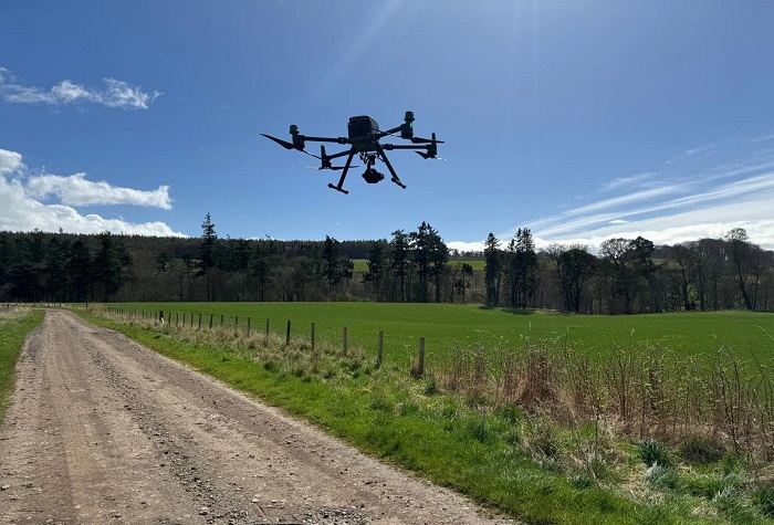

At City Scape Planners Inc. (CSPI), we provide cutting-edge Drone Survey services to collect precise, high-resolution aerial data for your projects. Using advanced UAV (Unmanned Aerial Vehicle) technology, we deliver detailed insights faster and more cost-effectively than traditional methods, making it ideal for a variety of industries.
Our Drone Survey Capabilities:
- Aerial Mapping: Capture detailed, georeferenced maps for large or complex areas.
- Topographic Surveys: Generate accurate 3D models, contours, and elevation data.
- Construction Monitoring: Track project progress with periodic aerial imagery and reports.
- Land and Boundary Surveys: Define property limits with enhanced visual clarity.
- Infrastructure Inspections: Safely inspect roads, bridges, pipelines, and utilities.
- Volume Calculations: Measure stockpiles, cut-fill volumes, and other materials with precision.
- Urban Planning and Development: Support large-scale site analysis and master planning.
- Real Estate: Showcase properties with aerial views and 3D visualizations.
- Construction Projects: Monitor sites, plan logistics, and assess safety compliance.
- Environmental Assessments: Study ecosystems, vegetation, and water bodies with minimal disruption.
- Agriculture: Assess crop health, irrigation patterns, and land utilization.
- Speed and Efficiency: Cover large areas quickly, reducing survey time.
- High Precision: Advanced sensors ensure accurate data collection.
- Cost-Effective: Lower operational costs compared to traditional surveying methods.
- Safety: Access hard-to-reach or hazardous areas without putting personnel at risk.
- Versatility: Capable of capturing data for a wide range of industries and applications.
With CSPI’s Drone Survey services, you gain access to advanced technology and expert analysis, ensuring your project has the best foundation for success. Contact us today to see how aerial surveys can elevate your project!